War, West Virginia
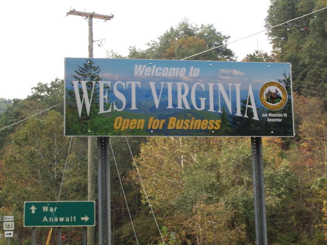
We are on the Virginia/West Virginia border on Va. 16/W.Va. 16 looking north.

Another sign points towards War.
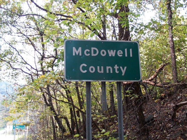
A third sign tell us we are now in McDowell County, West Virginia.
 |
This is looking north on West Virginia 16 just north of the Virginia border and south of War. |
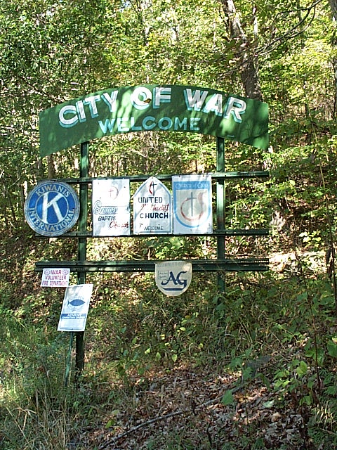
| City of War welcome sign on West Virginia 16. |
 |
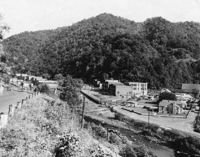
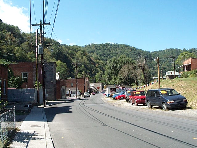 This is downtown War. Like most of the mining communities in Southern West Virginia, War sits in a valley. At this point, the valley is wide enough for [left to right}: a row of buildings, a main road (West Virginia 16), a railroad track (on top of the hill to the right of the SUV), a small street, and another row of buildings. |
|
 |
 |
 |
 |
 |
 |
 |
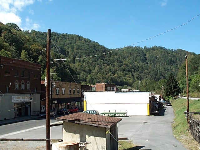
This is City Hall. The building, which used to be a passenger railroad station, sits between West Virginia 16 and the railroad track. |
 |
 |
 |
|

The most famous building in War is probably
Big Creek High School.
Please click here for more pictures.
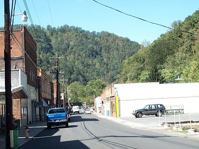
This is on the north end of War. Cross over the railroad tracks and go up
the hill; that will take you over the mountain to Caretta and Coalwood.
The road is WV16.

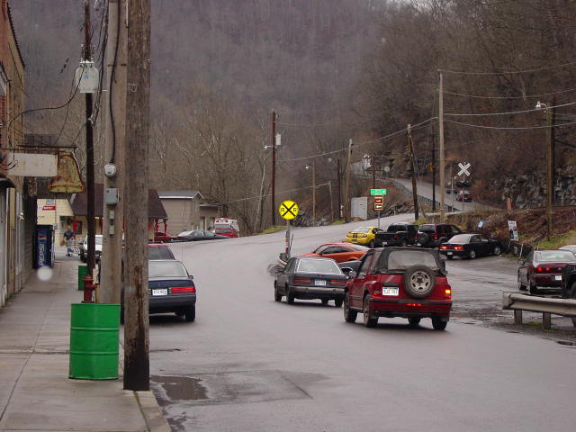
View form WV16 looking south towards War.
Historical Photos from N & W Railroad
Below are copyrighted images available in the Virginia Tech Digital Library and Archives. Their web site is: http://scholar.lib.vt.edu. (If you want to explore their site for additional pictures, click on "ImageBase" at the top of their home page; then "Browse" on the left side of the next page.) We are not allowed to download the full-size pictures to our server; we can only display small thumbnails. However, we provide a link under each picture which will show you the full-size picture on the Virginia Tech web site. We have been given permission from Virginia Tech and Norfolk Southern Corporation to display these links.
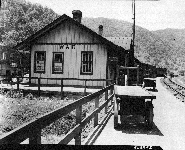
Title: War Station, War, West Virginia
Date: June 1948
Norfolk & Western Historical Photos section
The station is in use today as War City Hall. From left to right in the
picture are: a row of businesses, WV 16, the War Railroad Station, the platform
where people caught the train, and the N&W railroad track.
Link
to full-size picture.
Other Historical Pictures
War, West Virginia
1955
Photo courtesy R. Tim Gilley Collection

War West Virginia
Williams Coal Company
August 1931
Photo courtesy R. Tim Gilley Collection
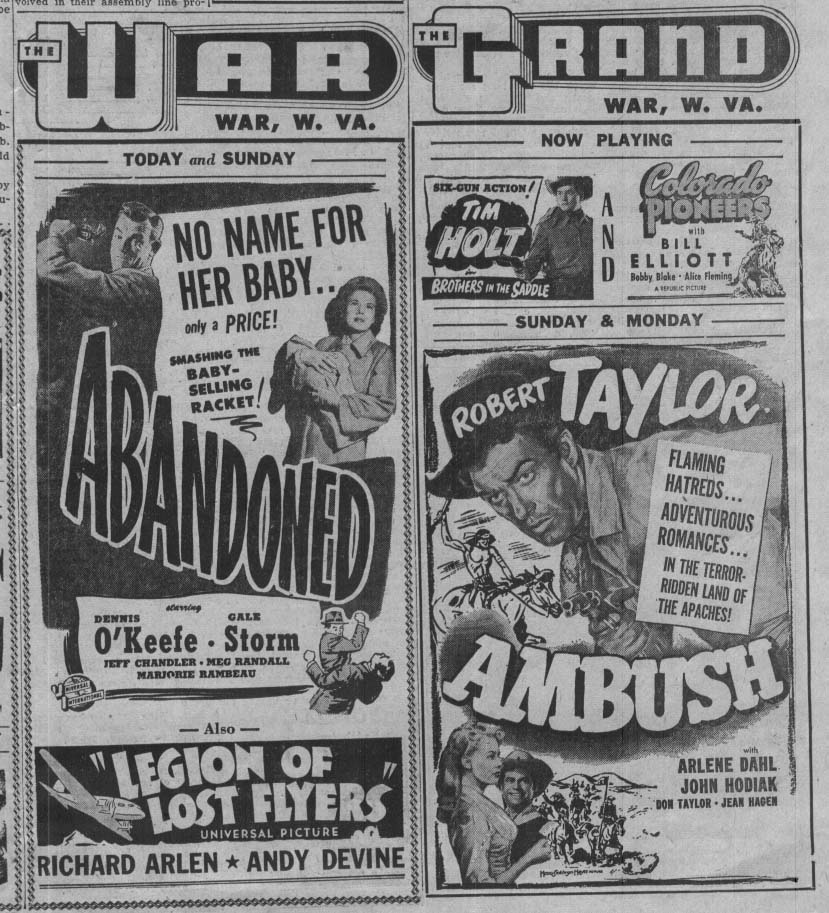
See what was playing in the War, W.Va. theaters!
Date unknown.
Compliments of the R. Tim Gilley collection.